Placeholder
Alert here

Create an Account

Some text here

Import Trip Plans

You or someone using this computer or device previously created Trip Plans.
What should we do with these plans?
Make these Trip Plans part of my account
Discard these Trip Plans

Login

Some text here

Password Reset

Please enter the email you used to set up your account.
We'll send a link to use to reset your password.

Check Your Email

If there is an account with the email address , we will send you a link to reset your password
Aneth

Elevation
4,300 feet (1,311 meters)

Aneth, or 'Just like the devil!' The Navajo people used that phrase to describe the business practices of the community's first white trader. The name stuck.

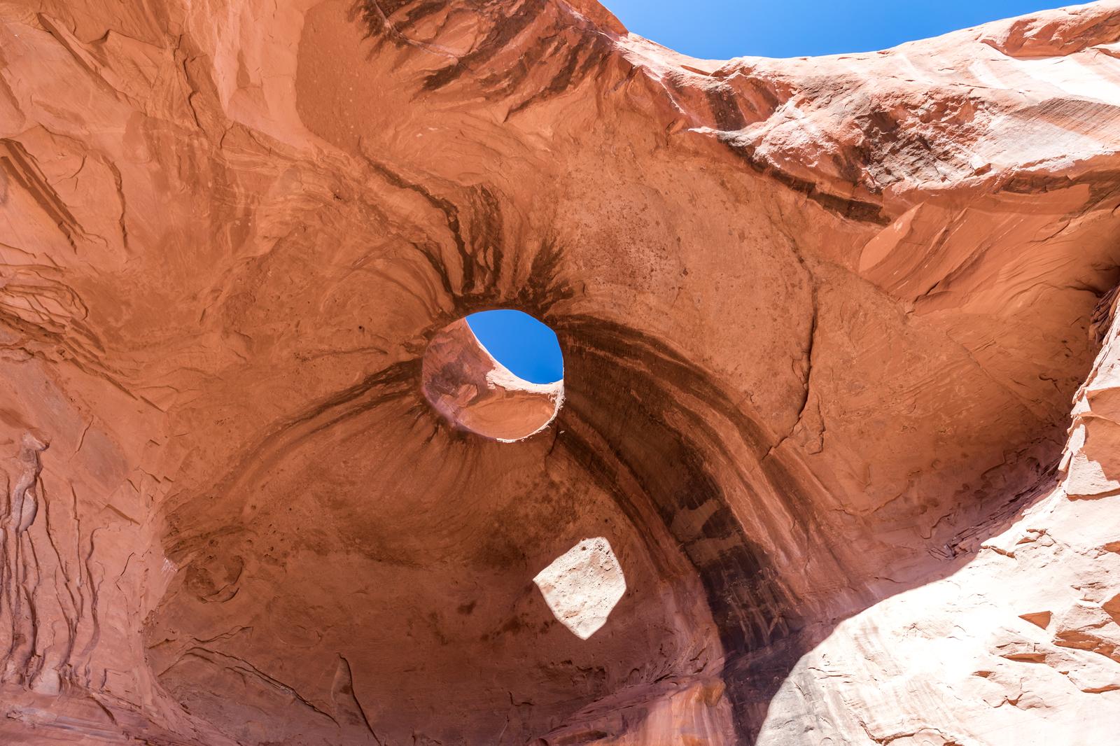
The Aneth Oil Field is still one of the major producing fields in the western U.S. Geology in this area is remarkably exposed, revealing colors that vary from mauve and purple to beige and gray. You may see traditional Navajo hogans (ho'gone) or shade houses — a pole structure used as a work or play area during the hot weather.
 

Aneth is a Navajo Chapter Headquarters. Chapters are equivalent to city or county government. Land, although owned collectively, is considered private.

Day tours include Hovenweep and Natural Bridges, in addition to Aztec National Monuments: Monument Valley Navajo Tribal Park and Mesa Verde National Park. Gasoline, sundries, and food available. No lodging.

Economic Information

The community of Aneth is located approximately ten miles west of the Utah/Colorado border and six miles east of Montezuma Creek on Utah 262. It is situated within the boundaries of the Navajo Reservation at an elevation of 4300 feet. Aneth is a Navajo Chapter Headquarters, and the location of Aneth Oil Field, one of the major producing fields in the western United States. Aneth is also home to the Aneth Community School, a Navajo/Bureau of Indian Affairs boarding school that serves students from the immediate area. Aneth's estimated population in 2000 was 1650.


Opening in a new tab...